

31 May – 2 June 2014
Onaida Nature Trail was daunting, extreme, and not recommended unless you are an avid hiker. It had amazing nature and experiences, but was not what we were expecting at all. I don’t know how this hike ended up as a medium difficulty recommended hike by Lonely Planet. Onaida Nature Trail significantly introduced us to the nature and wonder of Yakushima (Princess Mononoke) Island.
Kagoshima
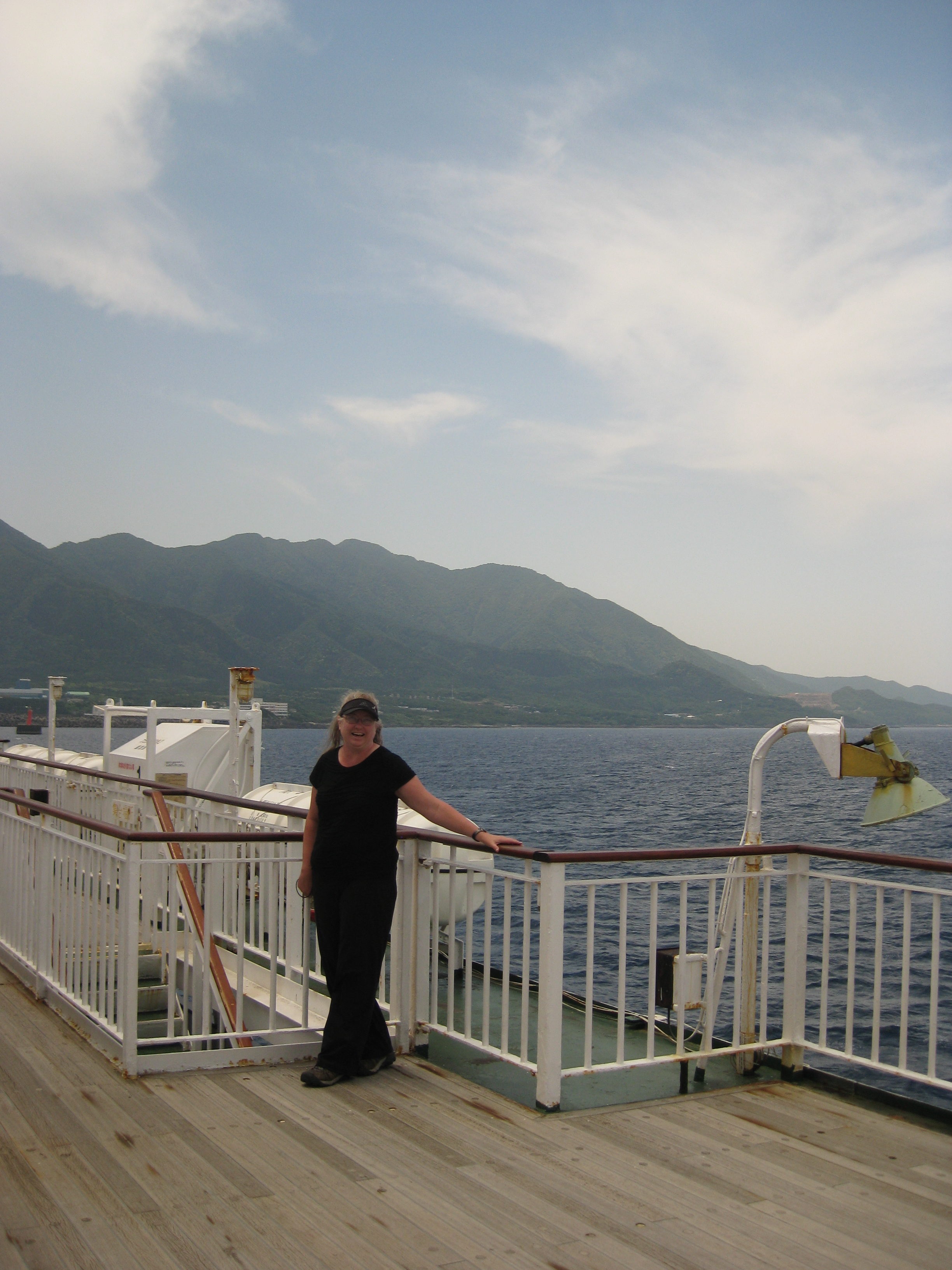
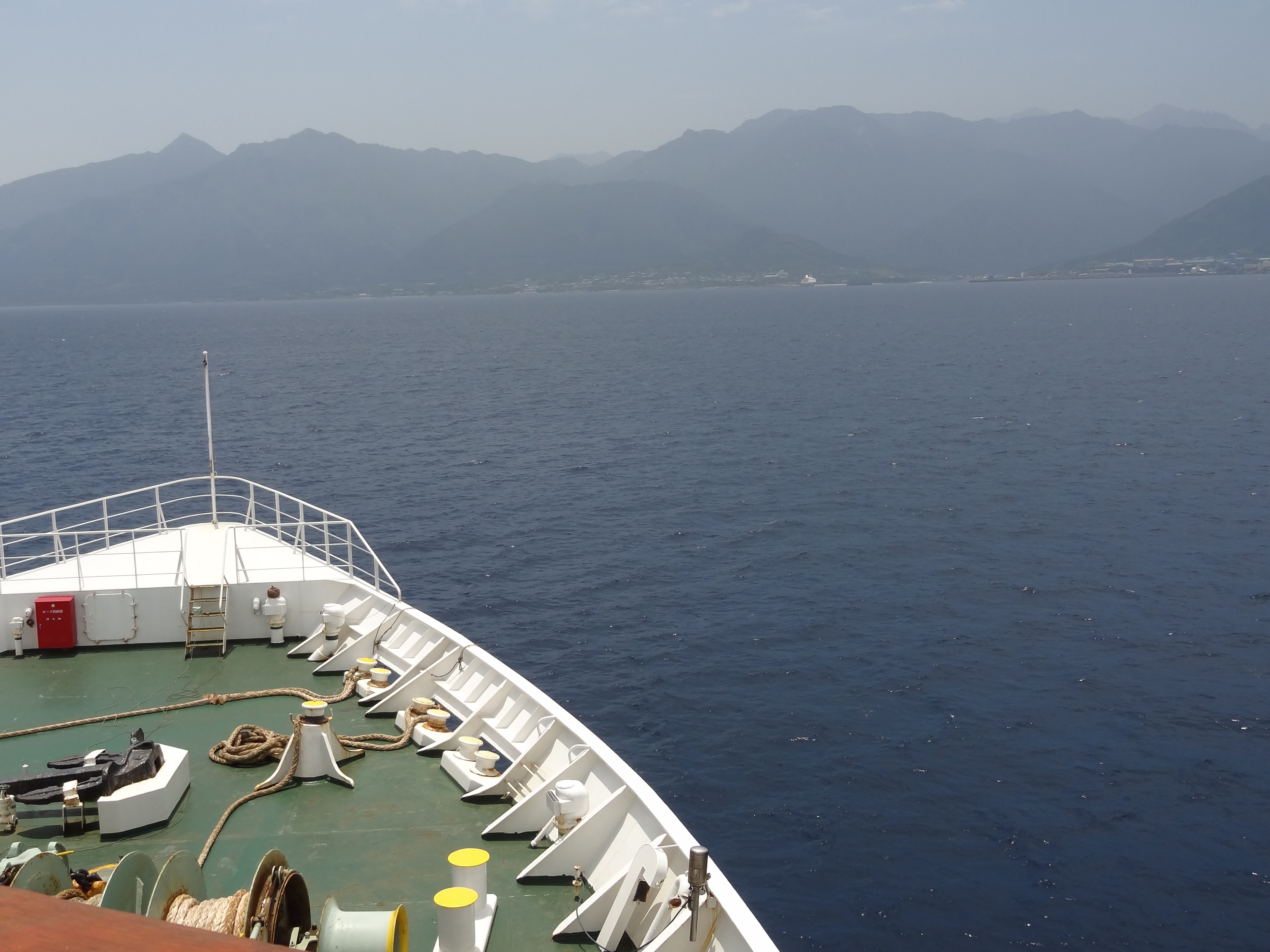
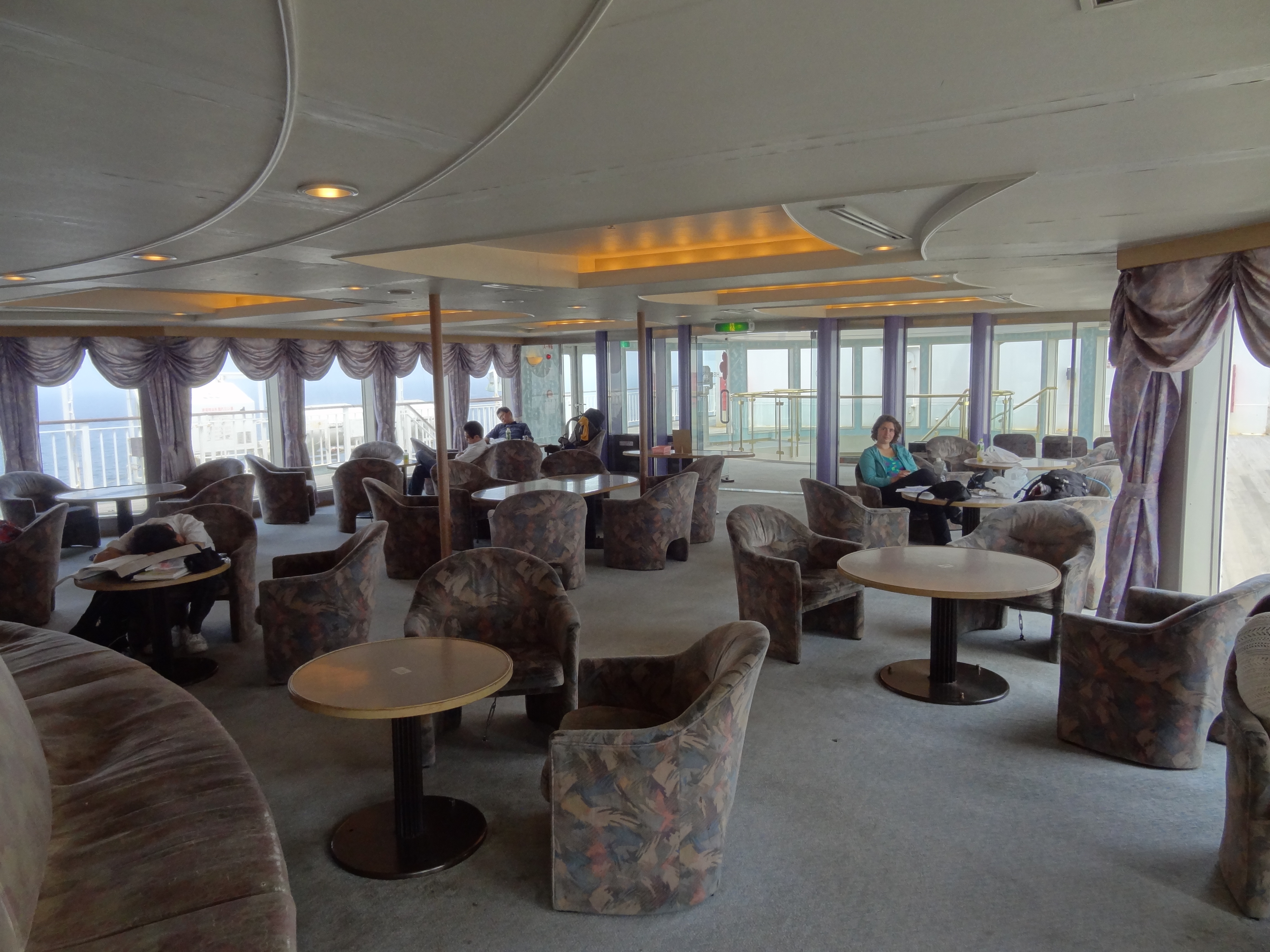
We got up nice and early so that we could leisurely pack things away (read how we missed the ferry the day before) & use the handicap bathroom that we washed our hair in since it had a nice retractile sink nozzle that we could pull out to get the nape of our necks and really wash. We were then off to family mart to pick out brunch and some snacks for the 4 hour long ferry ride. We both picked out pastas and some sushi rolls and the sweet rice balls. They were very yummy along with Val’s strawberry milk (that tasted like real strawberry’s) and my coffee latte. We walked around the boat like we were little children exploring a new place: “Where does this corridor lead to?”, “Ooh, there’s a sauna, bathtub, shower, laundry, and sleeping area!” etc.


Yakushima
We had a lot of fun on the boat taking pictures and planning for those hours, but were ready to go explore “Princess Mononoke” island, as Val calls it. Once they let us off the boat we needed to get groceries, and visit the information center to learn about turtles, Shiratami Unsuikyo (the ravine that inspired Hayao Miyazaki), hiking conditions, bus routes and the weather. At the information center, they informed us that it was likely to rain on the 2nd and 3rd day of our three day hike, which was valuable information. We purchased food, headed off to Onaida to visit Peita Bakery (recommended by Lonely Planet), then walked to the start of the trail to camp so that we could have an early start on the trail the next day, or so we thought…
Onaida Nature Trail
Day 1 on Onaida Trail
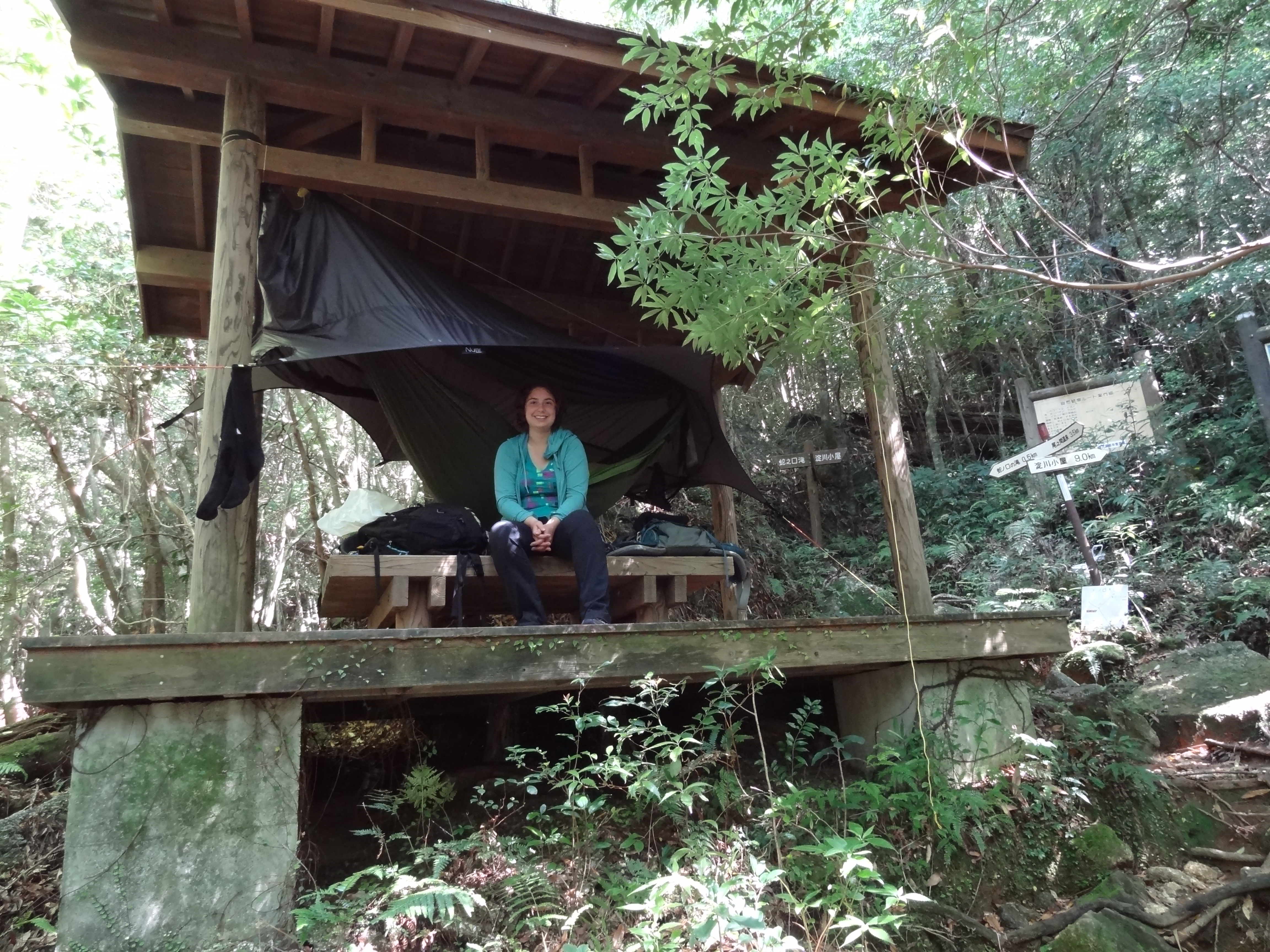
At the trail head there wasn’t a convenient place to camp or even eat our dinner, so we began the hike hoping that we would find a good place to set up the Nube and hammock, and be able to eat the dinner that we purchased. About an hour into the hike, we snacked on some dense ginger-ish bread (NOT our dinner) to tide us over, and had the good fortune to happen upon a local who was part owner of a campground in Onaida. This was surprising because the maps and information provided by the Tourist center led us to believe that there was no campground in the city. She mentioned that “Jerry’s Campground” was the only one in Yakushima on Air BnB, and was also kind enough to inform us of a shelter at a trail turn-off to a waterfall about 90 more minutes into the hike. Val and I agreed that this would be our goal for the day, and we would set up for the night there.
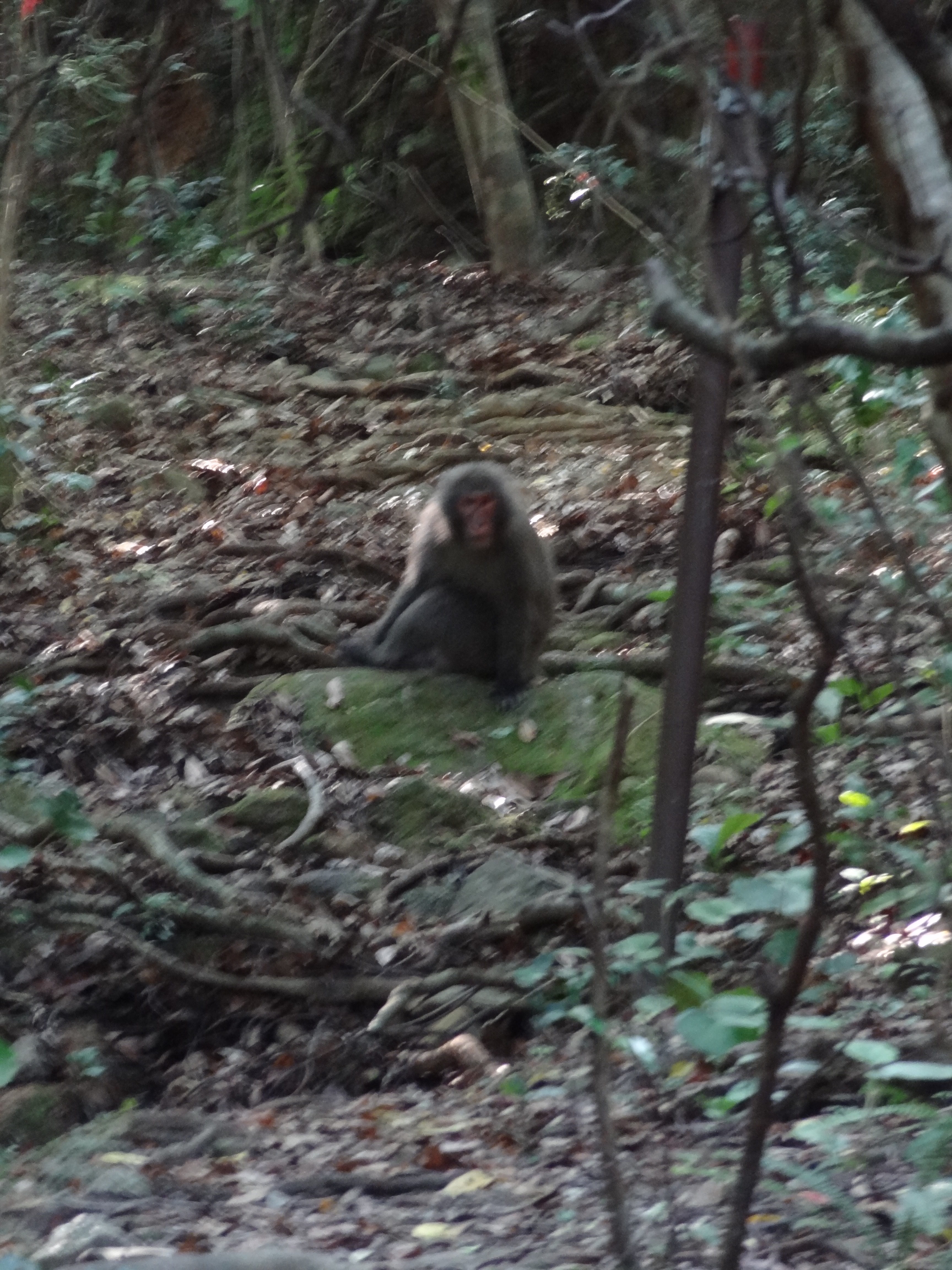


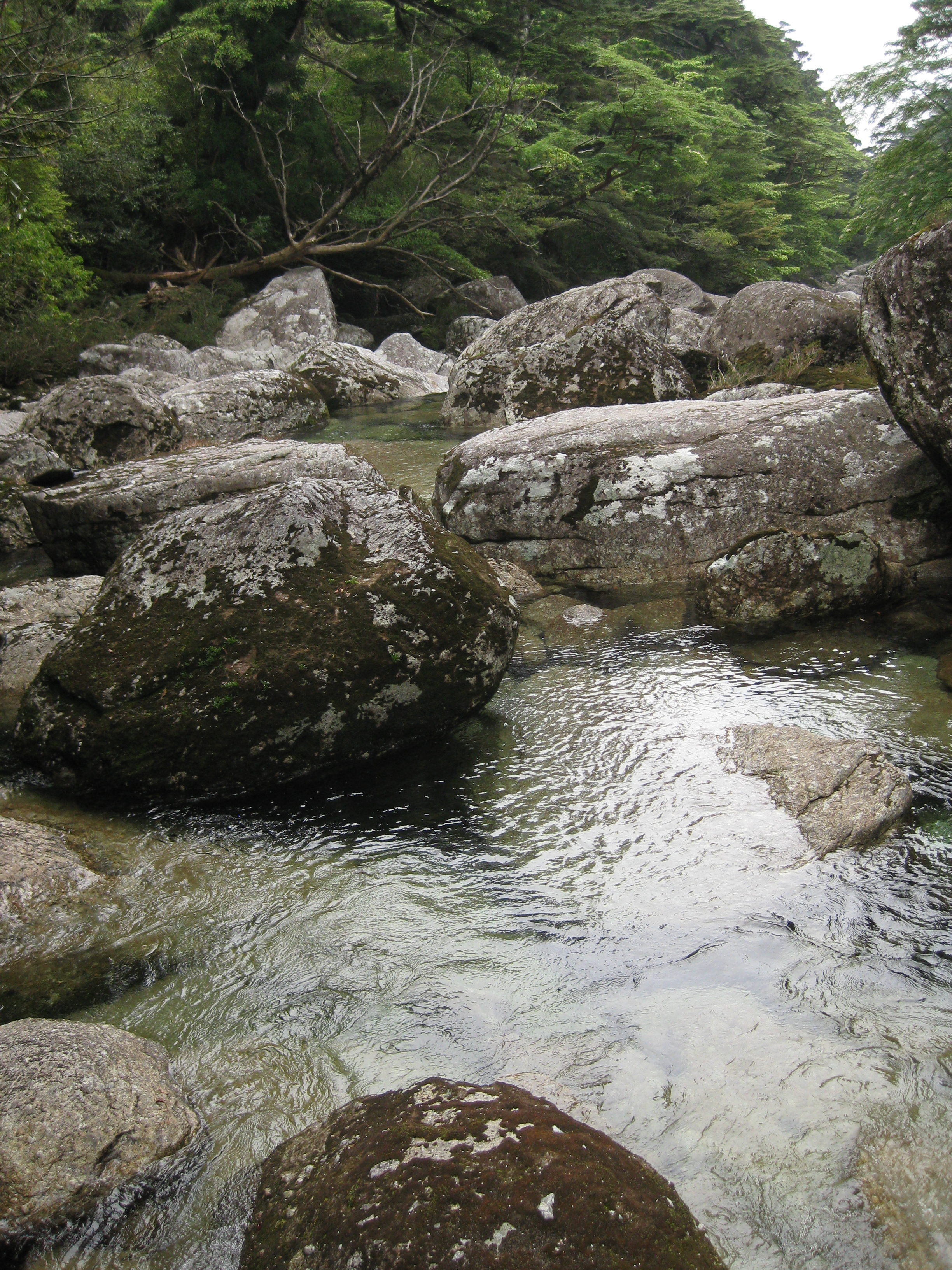
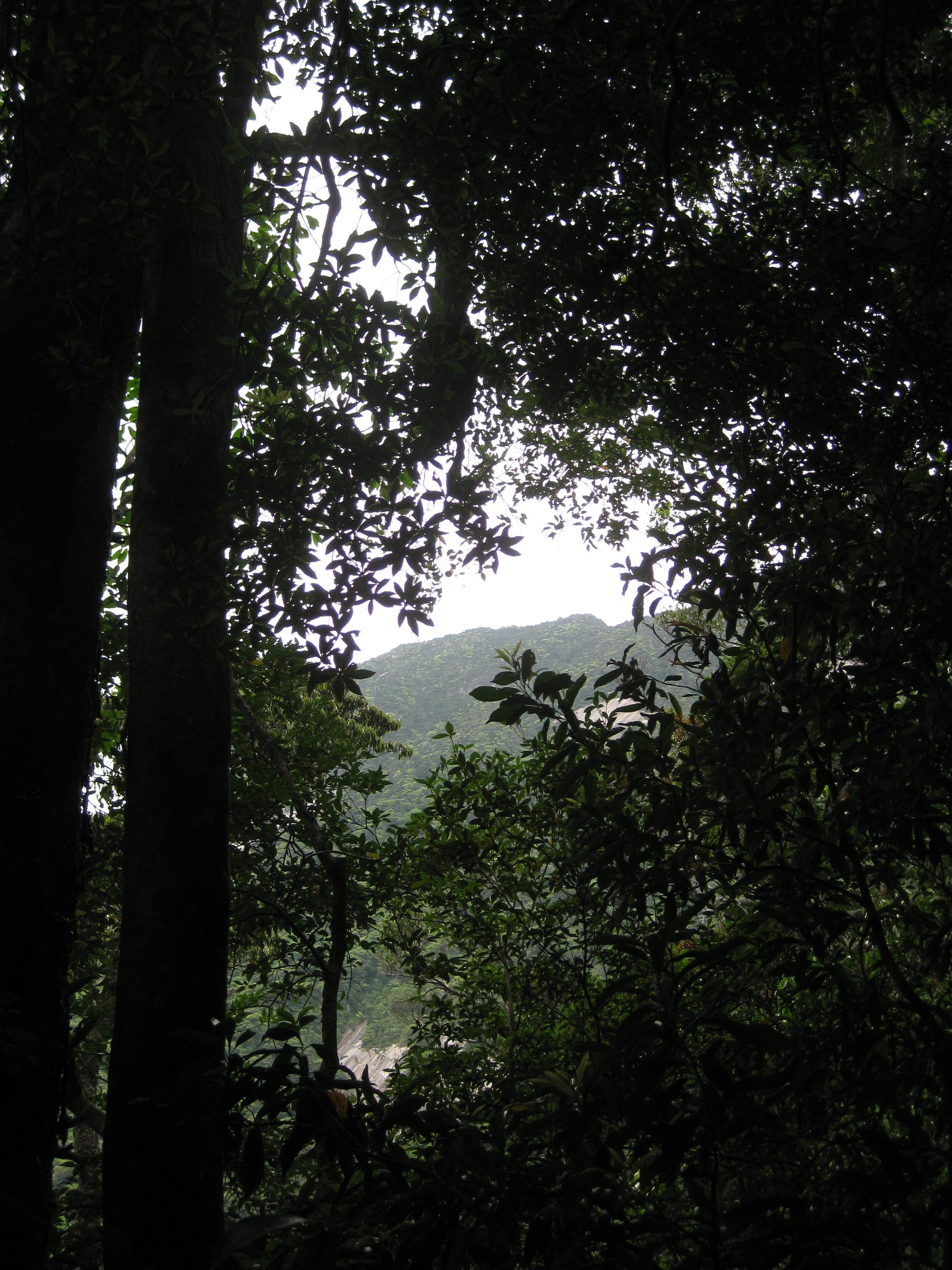
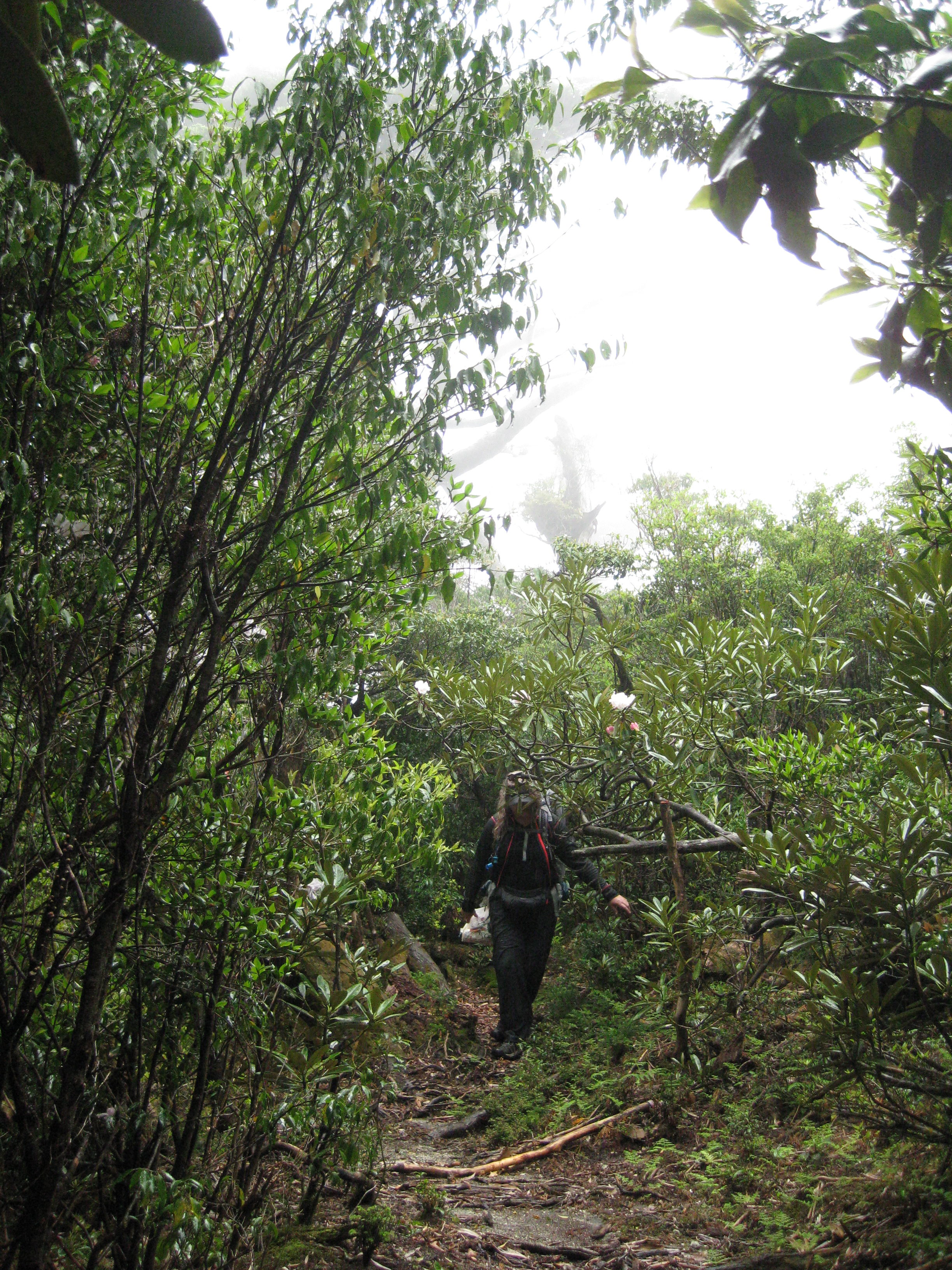
That first evening, we walked about 3.5 km of the hike in about three hours. The beautiful trees and flora, as well as the 20 or so native monkeys, were a little taste of our environment for the next 9 km. The tourist information states that an average hiker with a 20 kg backpack should be able to make it to Janokuchi Wakare (our shelter for the night) in about 80 minutes. What they failed to tell us is that local hikers never walk up the trail, they go to the top and walk down! Most of that 3.5 km distance is uphill, and we were ready to call it a night!
Day 2 on Onaida Trail
The next morning, we awoke rested but sore from our vigorous hike over the 3.k km of wilderness. In light of the initial difficulty of our “medium” rated hike, we elected not to take the half kilometer detour to the waterfall (Janokuchi-tachi), knowing that we still had a lot of ground left to cover that day. At the beginning of the Onaida Nature Hike, we had been optimistic that we would be able to finish by the end of the afternoon since both the tourist info and Lonely Planet believed that it was at most a 6-7 hour hike from where we started to the parking lot at the popular Yodogawa trail Entrance, and a road that led to civilization. Our first goal of the hike was to reach Tainokawa River, which was 4.5 km away and was supposed to only take about 3 hours. We wanted to reach the river by lunch so we could rest, eat lunch and filter some water for the rest of the hike.
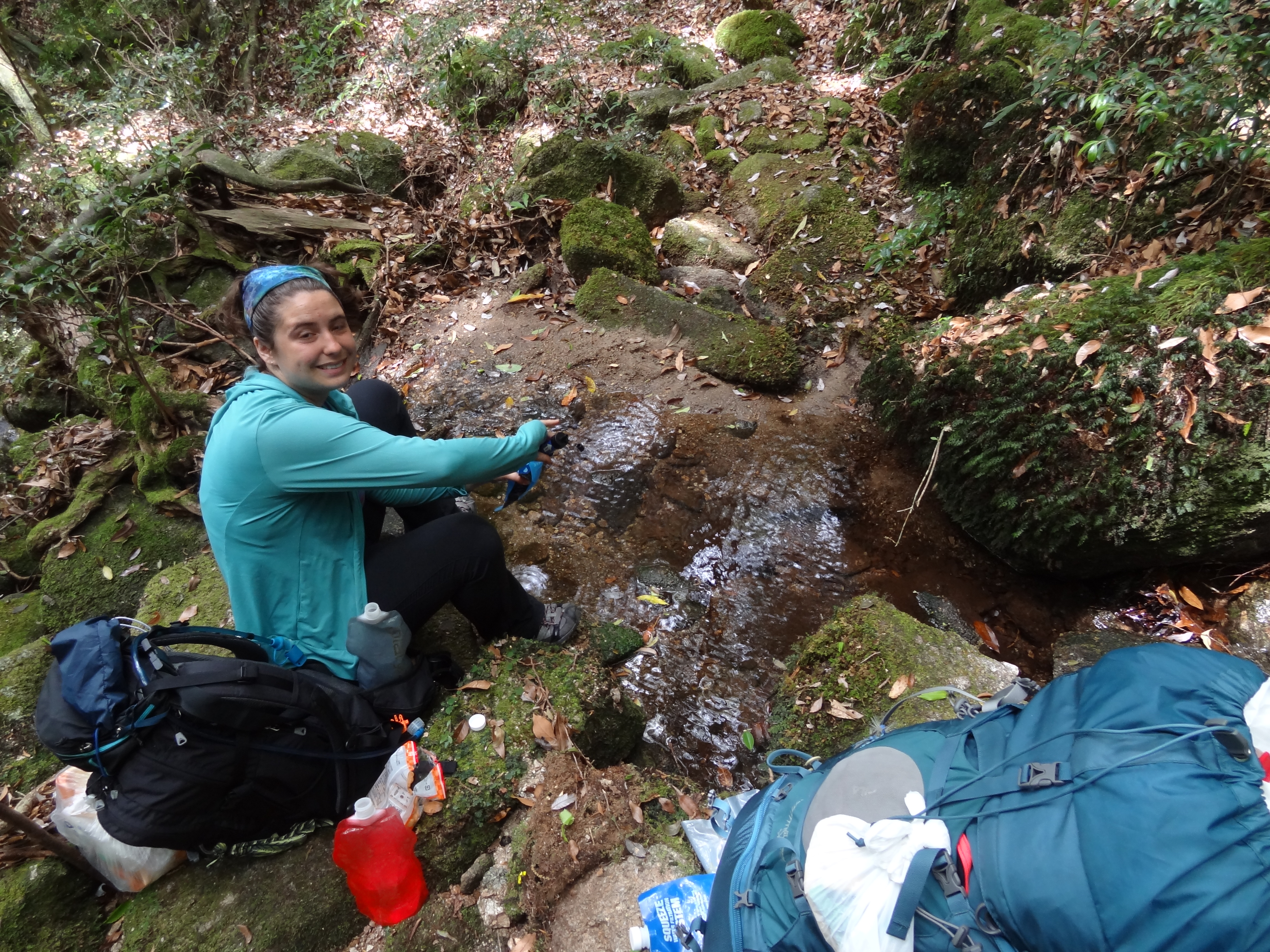
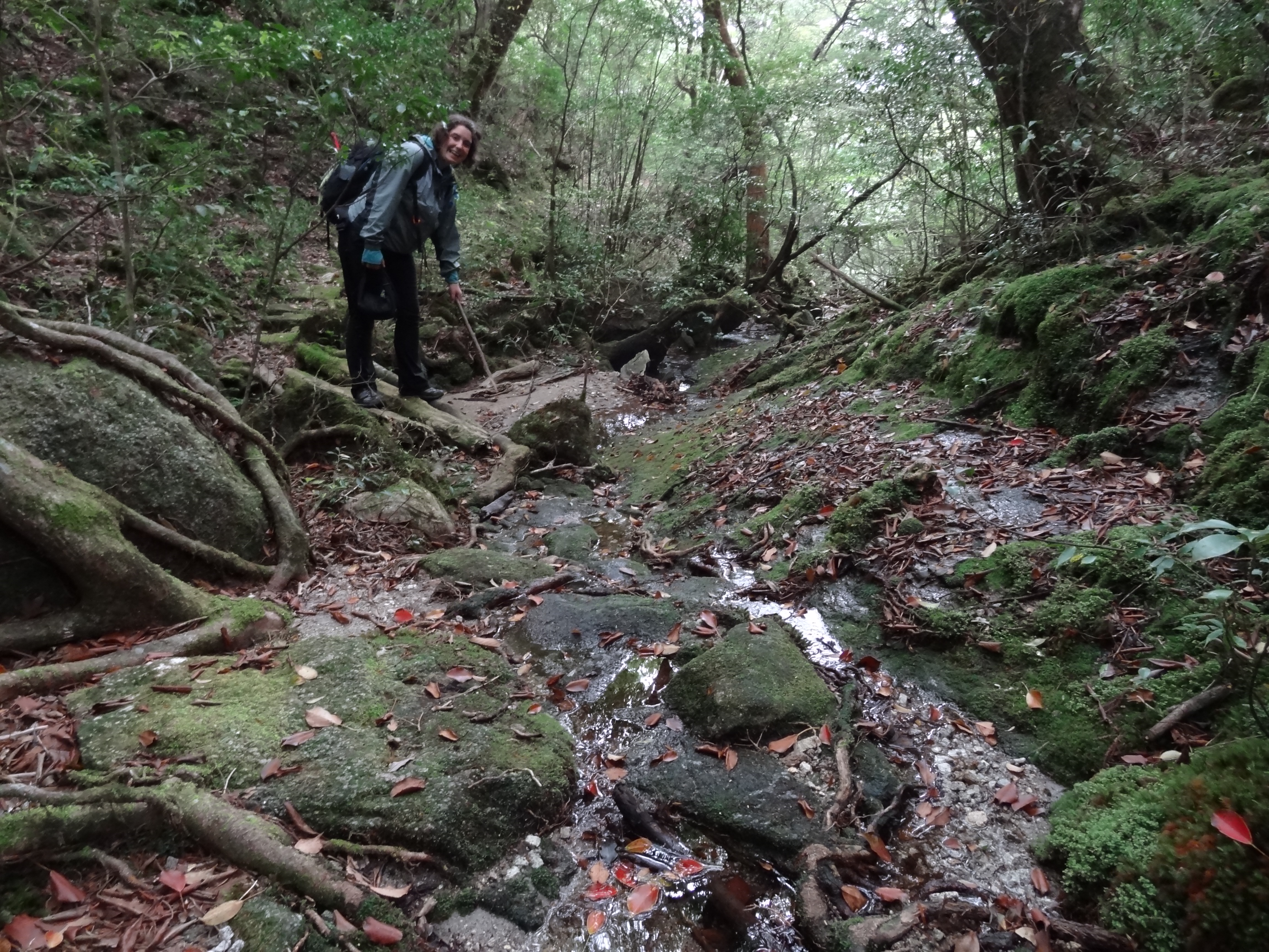
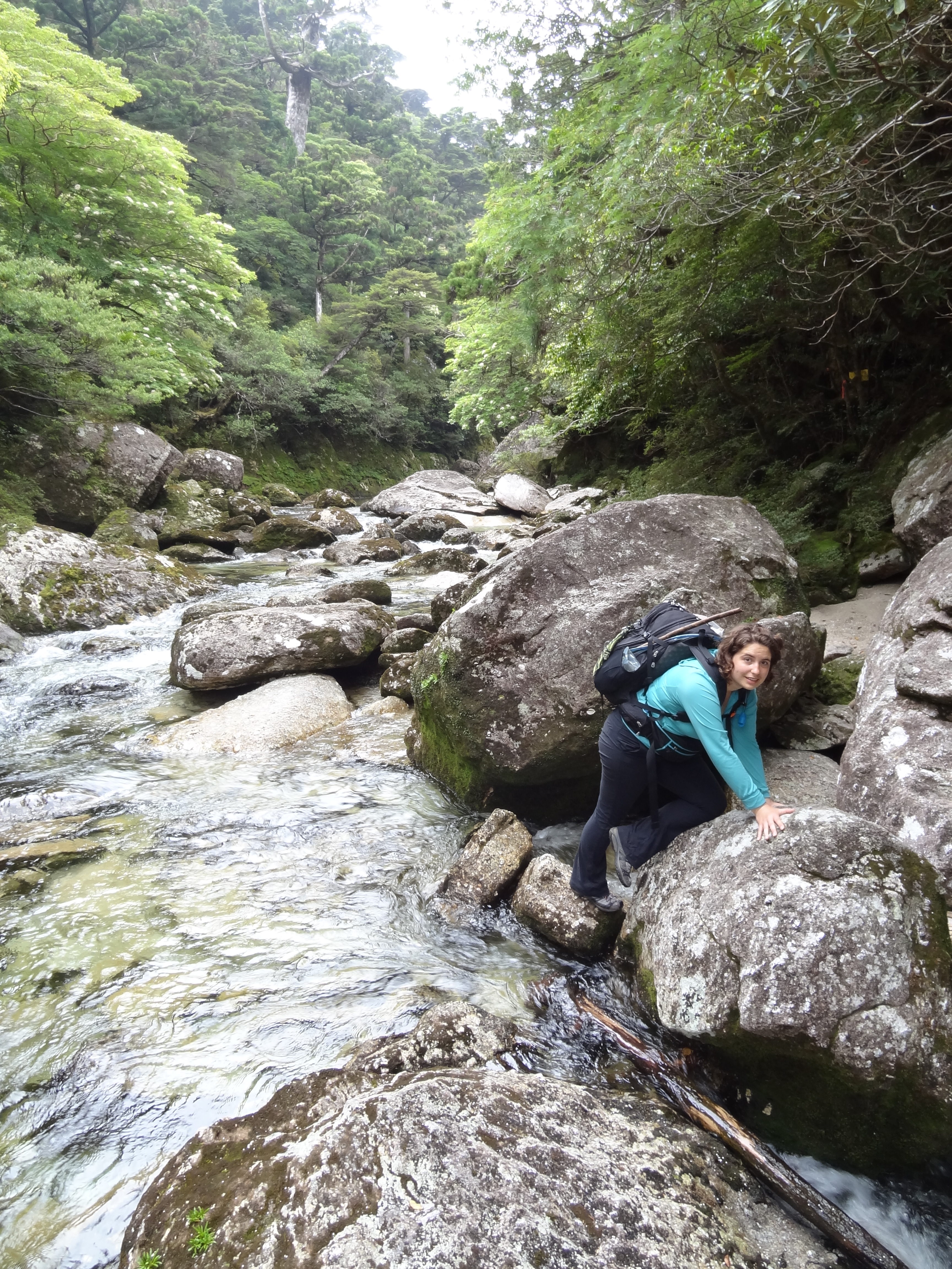
About two hours later we were getting really hungry, had crossed many little streams (none of which were large enough to call a river), had “repelled” using rope provided over boulders, climbed up large boulders using chiseled foot grips for assistance, and always using branches, bushes, roots, and nearby rocks for assistance in climbing large steps and precarious trail sections, which was almost 100% of the time. At that time we were also starting to run low on water which was making us snippy and uneasy. We knew we had to be getting close to the river but we didn’t know how much further or over what kind of terrain. When we approached the largest creek we had come across we stopped to make miso with rice and slightly before that break we stopped at a stream to refill all 4 of our 1 liter bladders plus the extra liter and the 16 oz bladders that Val had for hikes/emergencies.
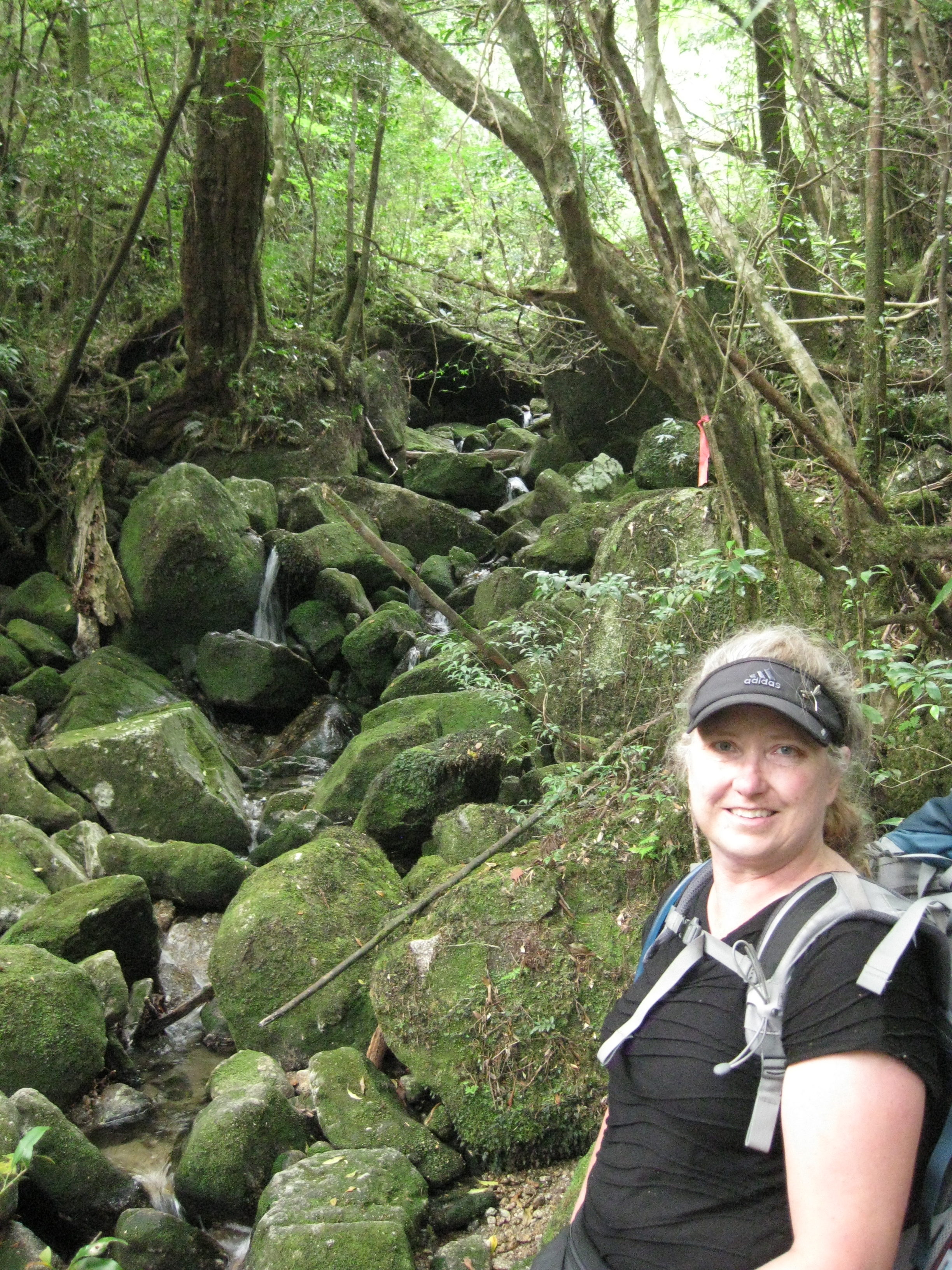
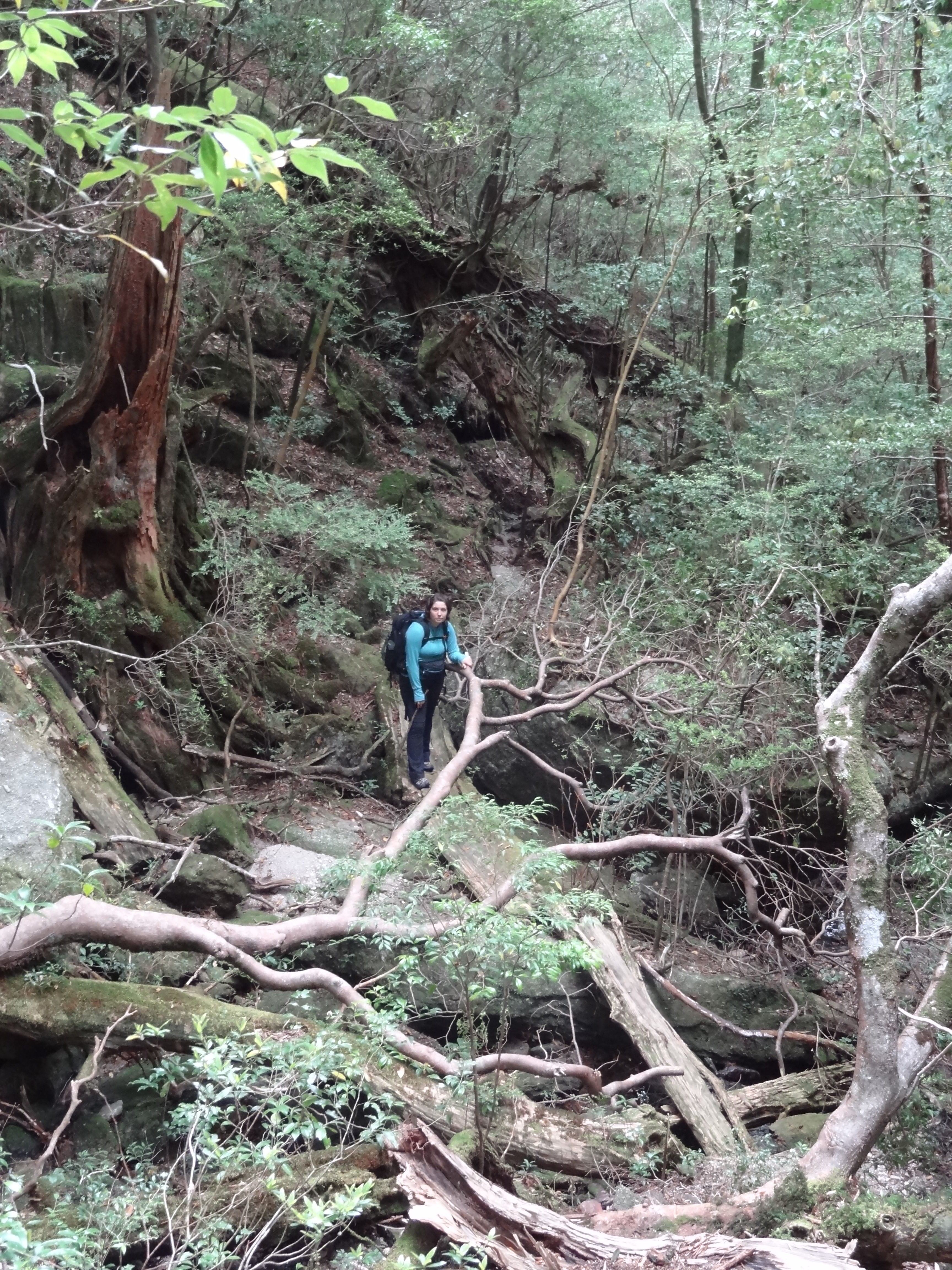
After taking a half hour break we started off again feeling confident that that was the river and we were only 4.5 km from the parking lot. Along the way I would call out “tree” or “branch” to let Val know to look up and duck under the low lying tree/branch. If I didn’t, either she or I would bang our heads on that tree or branch 🙁 because we were very focused on placing our feet on stable ground or figuring out how to make that very large step. I also had the special privilege of wielding the “spider wand” which I moved in a wide circular motion to clear spider webs from the hiking trail. I would also pause ever so often to help Val figure out a way up a specially difficult section or just to make sure we didn’t get to far from each other. During one of those breaks she began to be a little more peppy and stated “alright, let’s get going” 🙂 My response was to move a little off to the side and point to the next pink marker that helped identify the direction of the path. Her face fell as she realized we had to nearly rock climb up a boulder. Taking a deep breath and having her place my wand in a side pocket so that my hands were free, I began the climb. From the bottom of the large boulder it seemed a lot steeper but my shoes gripped easily and their were decent hand holes. The hardest part I feel was at the top were there wasn’t much leverage to get pack to a vertical orientation with a 40+ liter backpack on. The trail then took a twist back over the boulder and up over, all the while the side of the mountain dropped into a ravine, and into bushes so that we could make it back onto the “trail”, which was mainly comprised of where the water drains off the mountain, eroding the soil and allowing for rocks and roots to comprise much of the foot holds for the climb.


As the trail kind of evened out, we ran into a Japanese hiker going in the opposite direction. It was nice to see someone else actually hiking this difficult trail. He was kind enough to tell us that we had NOT crossed the major river and was about an hour away and about 3 hours from the parking lot. Our spirits fell, but luckily we had enough food, water, and a shelter to allow us to camp again if necessary. With how difficult the trail was today we were becoming very exhausted and were settling into the idea of camping a second night on the trail, especially if it became too dark to continue. He was very concerned for our safety, which we could tell from his facial expression and his comments of “very hard” and “very dangerous”. When we told him we had hammocks to camp in, plus food, and water he looked relieved but informed us that we should cross the Tainokawa River before it started to rain tomorrow, which we assured him we had plans to. At that point we had been hiking for around 5 hours and had not completed our 4.5 km to the river.
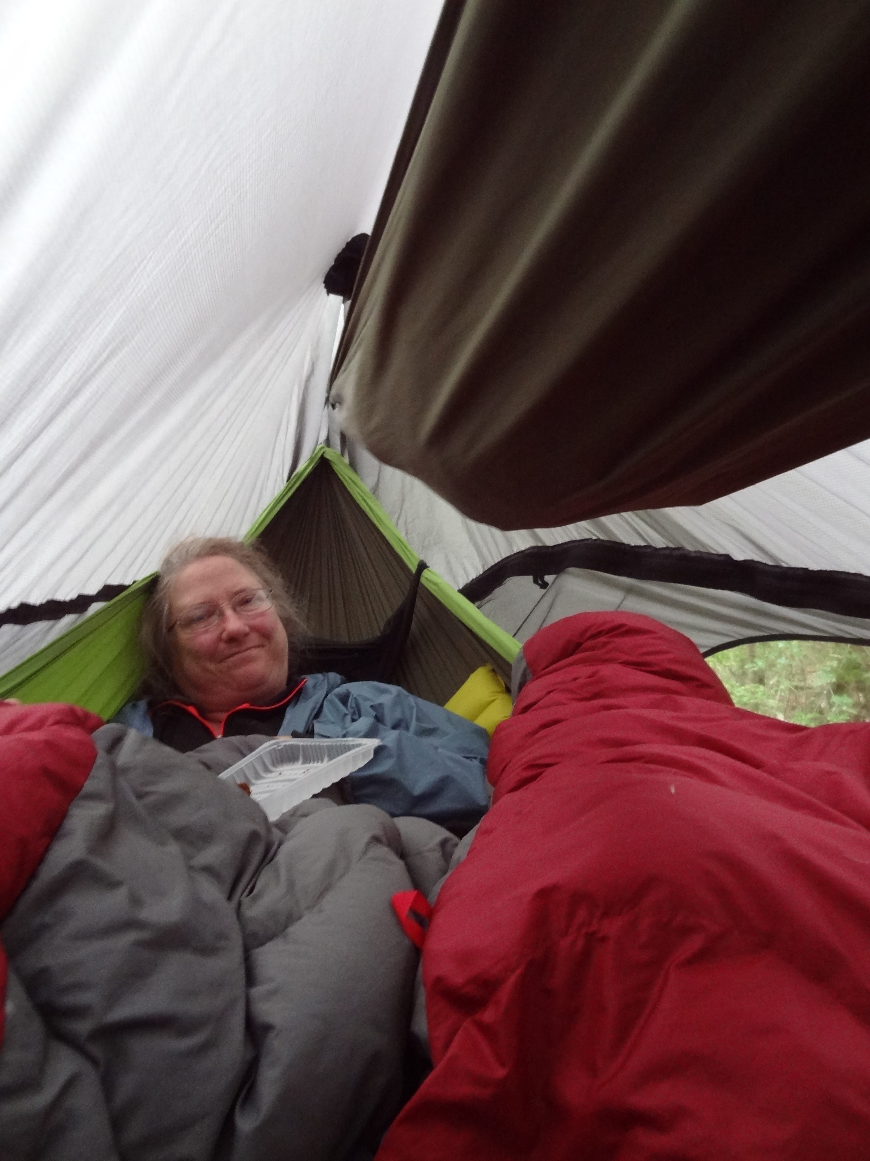
We went to sleep believing that we couldn’t be more than 1 or 2 km from the parking lot as we had since hiked over a slightly larger body of water that had yellow signs I’m sure saying that it’s dangerous to cross and a white sign with an arrow pointing one way and a description and then another arrow pointing the other way and a description. We had been hiking for 9 hours straight and were very tired when we finally came across a good spot to hang our hammocks. Sadly it was right above a boulder leaving Val very little room to move as she was sandwiched between me in my hammock and the rock. We were too tired to move the sleeping situation, let alone eat all our dinner (Val did finish her portion of the bread but she fell asleep a couple times in the middle of chewing).
When I awake in the middle of the night to go pee, I noticed she was crying and in pain but I was too exhausted to be able to process why. As I was climbing back into my hammock, she cried in pain for me to get back out, which I hurriedly did. She then asked me to crawl into her’s so that she had enough room to pull back her toes to un-cramp her legs. Asking if there was anything I could do, she informed me that I could help massage her calf, we both feel asleep to awake to a 3rd day of hiking.

Day 3 on Onaida Trail
Packing back up and mentally prepared for our arduous journey we both took medicine, Val for her legs and him and me for the headache that had stuck around. Once packed we headed down to the stream and refilled all 6 of our bladders, providing 5 liters and 16 oz of water. With that accomplished we were off to find our parking lot!
One kilometer or so later we came to a RIVER with enormous boulders the size of an American minivan. The Tainokawa River was about 10+ meters wide and had very deep clear pools. I ended up figuring out how to climb, leap, and crawl over to the other side. With this find we knew where we were, NOT close to the parking lot but 4.0 km away. With that we knew we had to climb up one last mountain of the 4 that the trail hikes over and then should have somewhat flat going until the end. About an hour later we came across two Australian girl hikers out for a day hike. They had started the Onaida Hike from the Yodogawa Trail Entrance at 10:40 and had been hiking for an hour and a half; they were planning on finishing the hike today (in the next 6-7 hours of sun light) as it started to sprinkle. They were able to provide us with information: such as the 1.5 hours to the parking lot and we tried to warn them of how much longer the trail will probably take and that it’s not much of a easy day hike.
Hiking towards the parking lot, officially, I sang “oh, parking lot, oh parking lot” and “we’re off-to see the see the parking lot, the wonderful parking lot of Yakushima!” 😀 We were in fantastic spirits! We saw the clouds roll into the hills and the mist surround the ancient cedars as it began to sprinkle a little more. Pouring down rain almost 2-3 hours later we were just ready to be warm, dry, and have warm food/drink. We want a PARKING LOT!!!! Now! 🙁 Please!?!


It took us 6 hours to finish the last 5 kilometers of the Onaida Nature “Walking” Trail. We were exhausted and dripping wet and VERY excited to see cars, asphalt, toilets, and people!
It took a total of 18 hours to accomplish all 12 kilometers of the Onaida hiking trail. 3.5 km from Onaida Onsen to Janokuchi Wakre in 3 hours the first day. Approximately 3 km in 9 hours the second day, and 5.5 km in 6 hours the 3rd and final day.
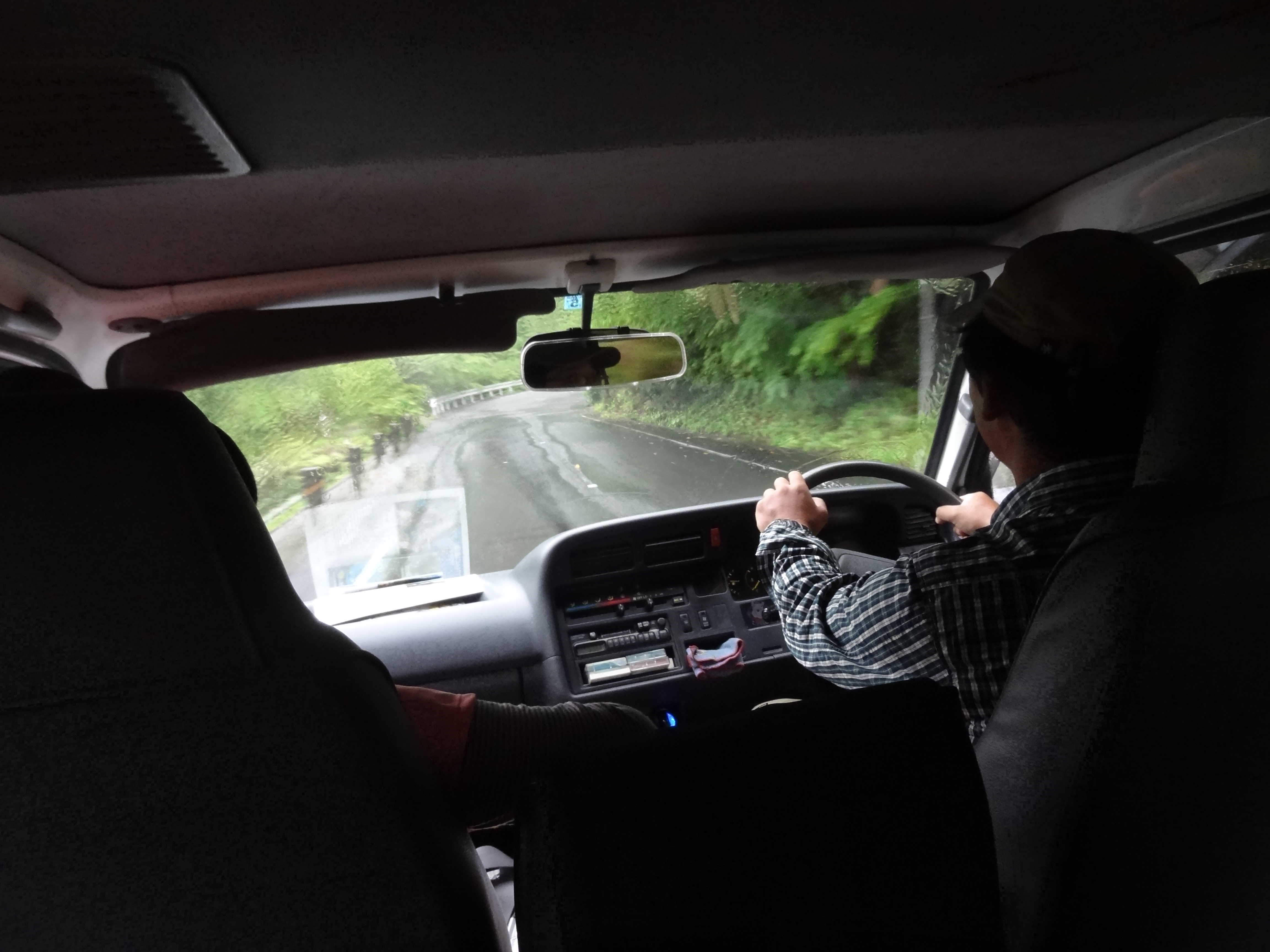
Finally looking at the bus schedule in the parking lot at 4:20 pm, we realized that the last bus runs by there at 2 pm; we were presented with the problem of getting into the closest city, Anbo, which was another 12 km away. Happening across four male, Japanese hikers as they finished their hike (not the Onaida trail, but a much easier one); they were kind enough to offer to drive us in their rental car until they realized that the bus wasn’t coming back until 10 am the next day. Luckily their was a hiking guide and a Japanese tourist that was willing to drive us to Anbo. She spoke pretty good English and was able to find us a cheap hostel for us to stay at by communicating with the guide that lived around there. He also informed us that no normal/ordinary person hikes Onaida. He also said that it’s terribly hard.

Settling into Minshuku Kihoudou (backpackers hostel) for 2,800 yen with out meals per person and 100 yen for blankets per night wiped out my money! We only had 1406 yen left or around 14 USD. We were soaked through to our undies, cold, and tired, plus very dirty/muddy/sweaty. We paid the lady and were welcomed into the most comfortable, soft beds we had slept on this entire trip, free shower/bath (make sure you ask for the hot water to be turned on), and 300 yen washer/drier. Yay clean bodies, beds, and clothes, AND NO NATURE. The hostel was right above Mo’s Burger (where you check in), but we didn’t have enough yen to buy anything.
Share